Abstract
An analytical method adapted for GIS-based mineral-potential mapping has been applied to assess contamination potential of Florida’s aquifer systems. The method, known as Weights of Evidence (WofE), combines evidence from known occurrences of a phenomena with spatial data to calculate a predictive response based on Bayesian theory with an assumption of conditional independence. Prior probabilities are calculated by dividing the number of known occurrences (training points) by the study area producing a probability of occurrence without the benefit of relevant data. Weights are calculated for independent GIS data coverages (evidential themes) based on the spatial relation between each evidential theme and training points. Results are reflected as posterior probabilities on an output map known as the response theme.
The Florida Aquifer Vulnerability Assessment (FAVA) applies the WofE method to the three principal aquifer systems in Florida through the use of the Arc Spatial Data Modeler within the ArcView 3.x platform. This extension facilitates assessment of spatial datasets, conditional independence, response theme uncertainty and validation, and provides other modeling techniques and statistical tools.
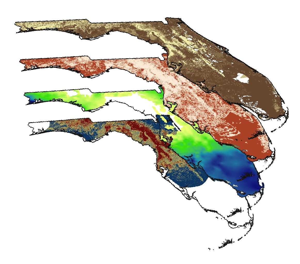
In FAVA models, training points consist of data from wells reflecting background water quality. Parameters used in the models to reflect known occurrences of aquifer vulnerability in the natural hydrogeologic system include dissolved oxygen and total dissolved nitrogen. Evidential themes include combinations of several improved or newly created statewide coverages: depth to water table, hydraulic head difference, thickness of confinement, distance to karst features, soil permeability, and aquifer system overburden. To maximize scientific defensibility of the response themes (relative vulnerability maps), models were validated using independent training data sets, training-point subsets and by demonstrating lack of correlation between land use and posterior probability. Aquifer vulnerability maps are an important resource for planners, developers, resource-management professionals and policy makers to facilitate protection of Florida’s ground-water resources.